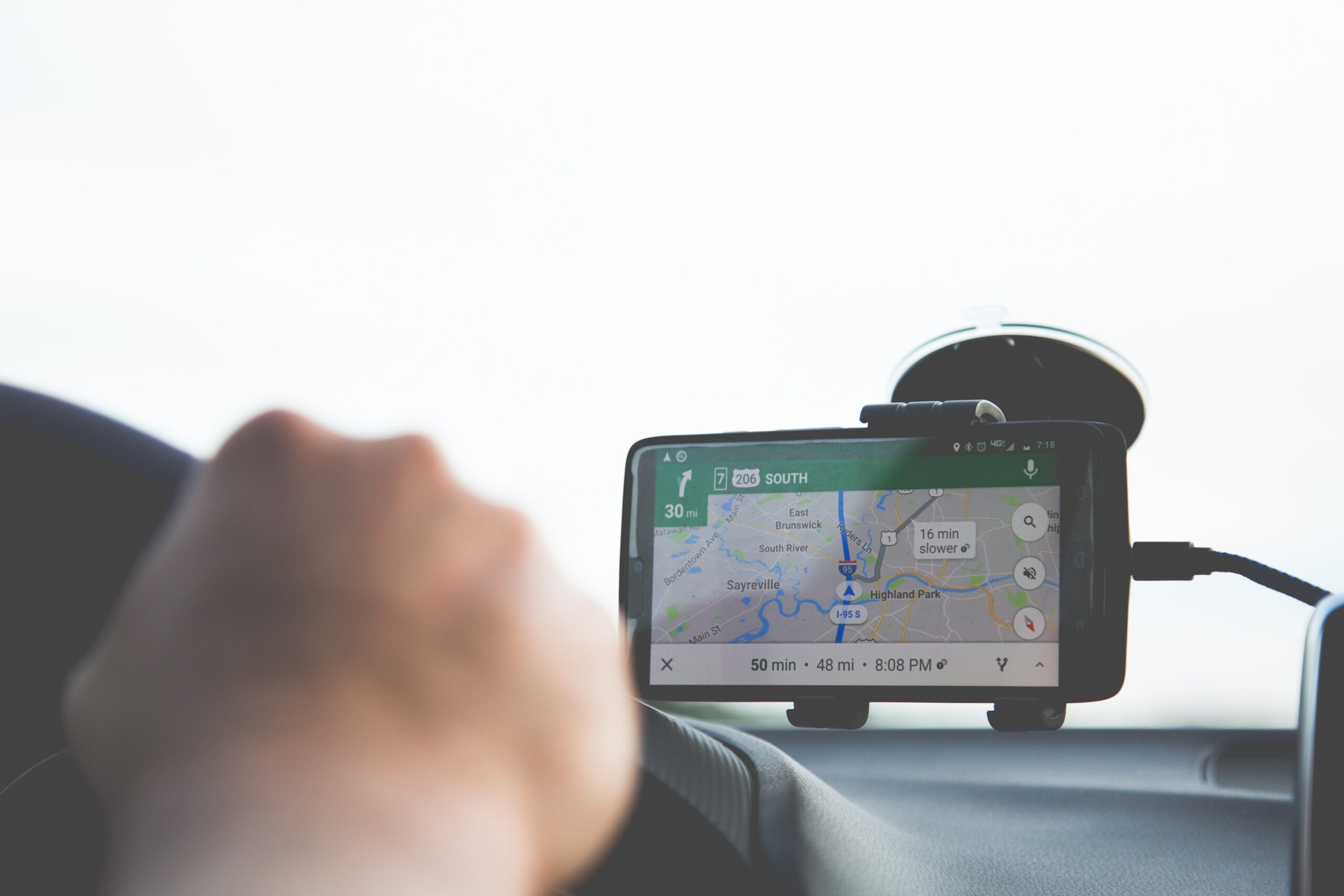
How can I get Google maps showing distance between fwy overhead signs as well freeway satellite view of the area admissible?
- Evidence, Traffic Court
- Comments Off on How can I get Google maps showing distance between fwy overhead signs as well freeway satellite view of the area admissible?

How can I get Google maps showing distance between fwy overhead signs as well freeway satellite view of the area admissible?
I recently attended my scheduled DMV hearing. It been continued since we reached our 1 hour limit. At the hearing I brought some Google maps print outs showing distance of freeway landmarks such as overhead signs which is important to show the officers speed using the MVR, these distances and the speed equation (DISTANCE= RATE x TIME) . The hearing officer said they were inadmissable because they were not self authenticating. How can I get these admissible or similar evidence for these landmark distances. Do i have to find a and pay a company to perform this? He also said a DOT printout was inadmissible but when I read evidence code it says Government publications were considered authenticated.
Traffic Lawyer Richard Simon’s Answer
Wow, 1 hour for a hearing. The rules of evidence say that government publication are admissible and to get google maps in you would need to hire an expert who is familiar with them to lay the foundation to bring them in. This is a lot of expense and work for a dmv hearing.

